
Know Your Watershed (www.knowyourwatershed.com) is an interactive web-based campaign, designed to help identify your exact location in your watershed, understand the San Jacinto River basin, and recognize how water drains throughout the surrounding area.
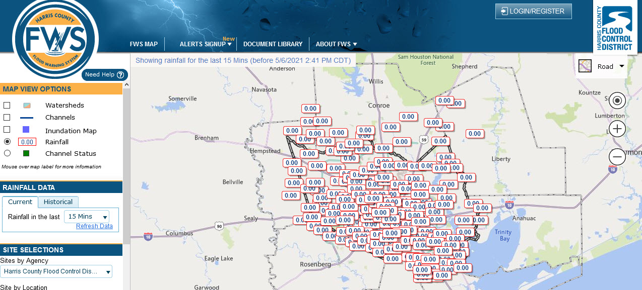
The Harris County Flood Control District’s Flood Warning System (FWS) (https://www.harriscountyfws.org) measures rainfall amounts and monitors water levels in bayous and major streams on a real-time* basis throughout Harris and Montgomery County.
For the most up to date, real-time severe weather information, make sure to follow the National Weather Service’s (https://www.weather.gov/hgx/) social media platforms and check out their National Weather Prediction Service (NWPS):
- Like on Facebook @NWSHouston
- Follow on Twitter @NWSHouston
- NWPS